
 EN
EN


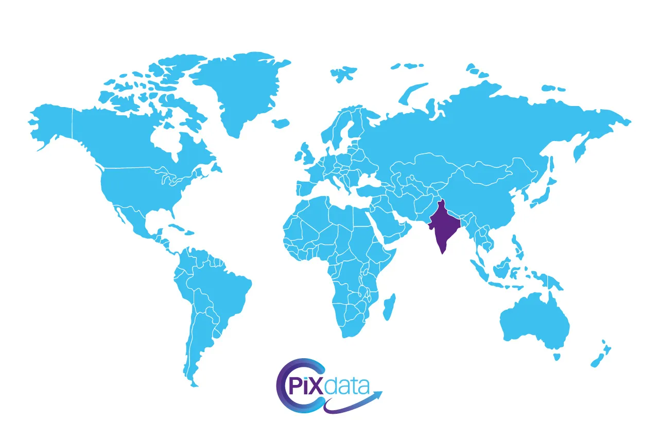
A comprehensive database of India’s postal codes
This dataset compiles all Indian postal codes, covering every region and administrative area of the country. It provides a complete representation of districts, states, and localities, ensuring accurate and reliable postal information. Thanks to its standardized structure, it can be easily integrated into management systems, analytics platforms, or GIS tools.
Available in multiple professional data formats
The database is available in SQL, XLSX, and CSV formats, offering flexibility for every technical environment. The SQL version is optimized for relational databases, while the Excel and CSV versions are ready to use for data manipulation, reporting, or analysis.
Structured information with detailed geographic attributes
Each record includes the postal code, city, state, province, and geographical coordinates. This level of detail supports advanced spatial analyses and applications in cartography, logistics planning, and geo-marketing. The database design ensures consistency and accuracy for technical and business intelligence usage.
A reliable resource for data professionals
Developed to meet the highest standards of quality, this database is ideal for developers, data scientists, logistics experts, and public institutions. All records are validated and regularly updated to guarantee the reliability and integrity of the information used in your applications and workflows.
Wide range of applications and performance benefits
By integrating this dataset into your systems, you can streamline your geolocation processes, improve delivery management, and enhance data segmentation. The India Postal Codes Database transforms raw data into actionable insights, providing a strategic advantage for both technical and operational decision-making.


